Lead institution:
NOAA – United States of America (USA)
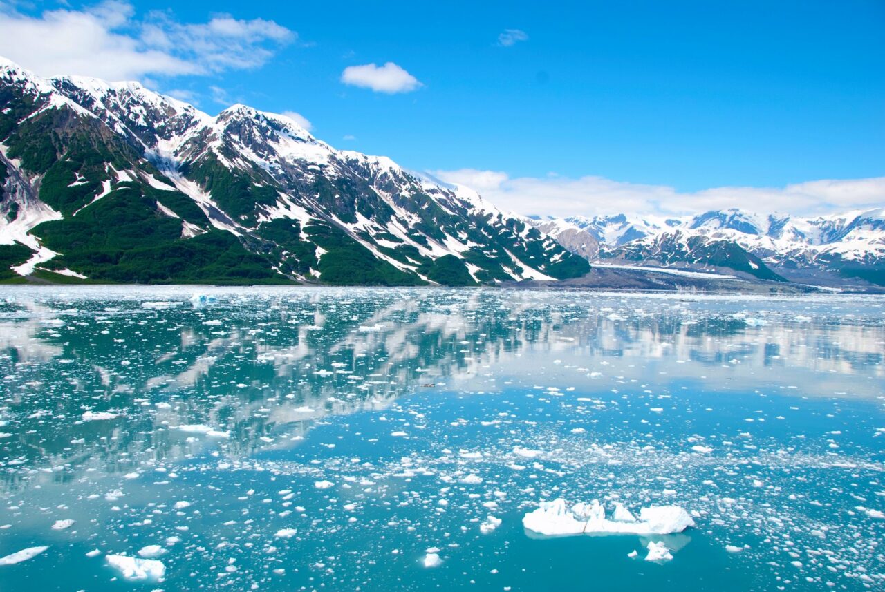
The U.S. waters off of Alaska are a vital part of the global navigation system and are also host to extensive fisheries and other resources, but as of January 2022, 69% of these waters are unmapped.
This project seeks to acquire and deliver a high-resolution digital representation of the seafloor beneath these waters to benefit a wide-range of both domestic and international stakeholders that depend on these data.
This project brings government and non-government sectors together to share mapping plans and advance technical innovations to more efficiently map and characterize the area in support of Seabed 2030.
This Project is hosted by the Ocean Decade Programme The Nippon Foundation-GEBCO Seabed 2030 Project
Start Date: 15/04/2021
End Date: 30/12/2039
Lead Contact: Meredith Westingson (meredith.westington@noaa.gov)